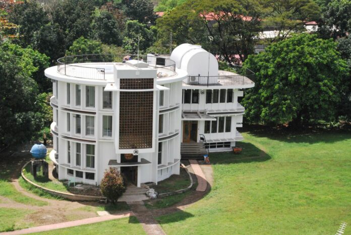
The Department of Environment and Natural Resources (DENR), with the help of Jesuit-run Manila Observatory (MO), are crafting a climate change information system to help government manage risks linked to changing and variable climate.
The 158-year-old, privately run MO, will help government establish baseline data on the environment and the country’s natural resources, the DENR itself said on Tuesday.
Under the signed memorandum of agreement, the digital database will form part of the DENR’s climate change information management (CCIMS) and related systems, including the DENR control map and the river basin information management system.
As partner, MO will co-design the database with the DENR using atmospheric and earth science data, remote sensing technologies as well as space and satellite tech applications to use science in various environmental concerns.
The DENR said the database will contain interactive and downloadable maps on climate change scenarios with temperature and rainfall; hydrometeorological hazard spatial data and maps; exposure spatial data and maps; associated vulnerability data and maps; climate risk maps based on the confluence of hazards, exposures and vulnerabilities; and climate change impact information.
The DENR will provide information on climate and the environment such as geographic information, field data, drone images and other reports that contribute to the development of the systems and tools.
Both the DENR and the MO also plan to make the CCIMS available to the public, especially for local government units and various national government agencies, the academe, civil society organizations and the private sector, among others.
MO is a non-profit research institution which has been studying Philippine weather patterns and earthquakes since the Spanish colonial times.


