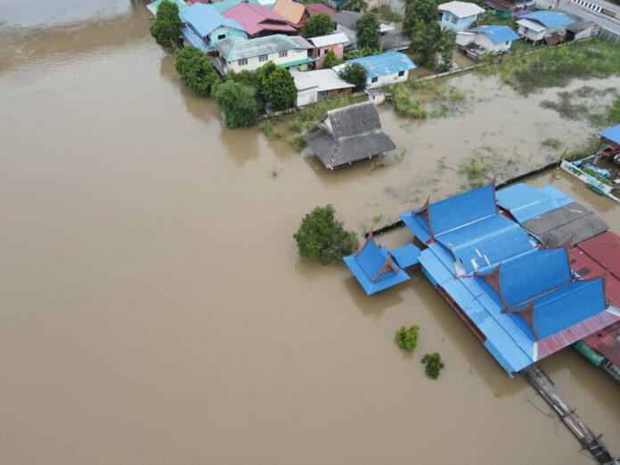
For the nth time, the Department of Environment and Natural Resources (DENR) ruled out quarrying as the root cause of perennial flooding of the Marikina River Basin, an all too often event that directly inconveniences the lives of people in Metro Manila and Rizal province.
“No quarrying was found in the protected areas of the Upper Marikina River Basin Protected Landscape,” DENR undersecretary Carlos Primo David said.
According to David, recurrent flooding in the area directly results from soil erosion and thinning vegetation made incrementally worse each year by urban development.
As a result, the agency called on local government units in Metro Manila to work closely with environment officials in adopting measures preventing recurrent flooding events.
“Increased rain intensity and frequency due to climate change, depleted forest cover, land conversion and modification of our waterways are among the reasons why Metro Manila and Rizal get easily inundated with floodwaters much too often,” David said.
He said Metro Manila is prone to flooding because areas downstream of the river basin like Marikina, Cainta and San Mateo are highly urbanized and built-up, making it difficult for the absorption of rainwaters into the soil.
But even then, David acknowledged flood heights in the downstream areas can still be managed by increasing its green spaces and by transitioning to permeable pavements as well as by pursuing offline flood storage and direct flood water injection projects.
This was why the DENR, in partnership with the Department of Public Works and Highways, non-government organizations, LGUs, the academe and the private sector, endeavors planting three million trees in the Upper Marikina River Basin Protected Landscape over the next four years.
David, who heads the agency’s geospatial database and water resource management unit, also bared ongoing discussions with the private sector on an intensive reforestation of the Marikina watershed and the rehabilitation of the old Wawa Dam.
The DENR presented satellite images showing how vegetation cover in the 69,817-hectare Marikina River Basin has steadily diminished the past decade, with the agency finding “notable negative changes in the vegetation cover in the river basin mainly due to urbanization” between January 2014 and January 2024.
“The biggest opportunities for preventing floods include the conversion of moderate vegetation areas into dense forests and rationalized built-up development. Rivers must also be restored and cleared of obstructions within the natural floodplains,” David further said.
The DENR said the Marikina River Basin covers parts of Metro Manila and the province of Rizal, including the 26,000 hectare Upper Marikina River Basin Protected Landscape.
The agency said the Marikina River flows approximately 11 kilometers from a number of tributaries draining to four LGUs in Rizal province and three cities in Metro Manila, eventually emptying into the Pasig River.
David reiterated “no quarrying was found in the protected area or the Upper Marikina River Basin Protected Landscape.”
“The areas where there is a stark decrease in vegetation cover coincided with urban development. The areas that gained forest cover include the reforestation areas east of Antipolo and parts of Rodriguez,” David said.


