
The country’s resource officials have teamed up with the Philippine Space Agency (PhilSA) to produce an inventory of resources that will serve as basis for a policy framework down the line.
The Department of Environment and Natural Resources (DENR) and PhilSA formalized this in an agreement to come up with a so-called geospatial database.
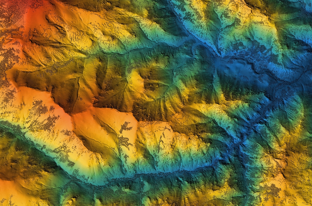
Under the signed memorandum of agreement, PhilSA is responsible for developing and generating maps, systems and tools at a national level that analyzes the country’s vulnerabilities and impact of climate change and disasters, among other issues, using satellite imagery.
“A geospatial platform is fundamental for us in terms of establishing the physical basis of our natural resources, and in terms of our wanting to inventory them for the strategic and critical development of the country.”
DENR SECRETARY ANTONIA LOYZAGA
The MOA has to do with the National Greening Program (NGP) that monitors progress in the use of current and emerging space science and technology applications in the country and the establishment of a comprehensive national geospatial database under the Environmental and Natural Resource Accounting Program which includes the collection of climate information and analysis.
PhilSA will assist the DENR in monitoring NGP areas and other forests using remote sensing, artificial intelligence and geographic information as well as provide staff technical capacity training in using tools and systems.
In turn, the DENR will provide information or data required by PhilSA in generating maps and other field data as well as coordinate with relevant bureaus and attached agencies for the implementation of the activities covered by the agreement.
The project output will then be integrated into the creation of a national capital accounting system led by the environmental agency and the National Economic and Development Authority.


