


The world could soon look different in classrooms, newsrooms, and digital platforms after the United Nations backed a push to replace the familiar Mercator map with projections that more accurately show the relative size of countries and continents.
The UN General Assembly on Friday approved the nonbinding “Correct the Map” resolution by a vote of 164-1, with the United States opposing and seven countries abstaining.
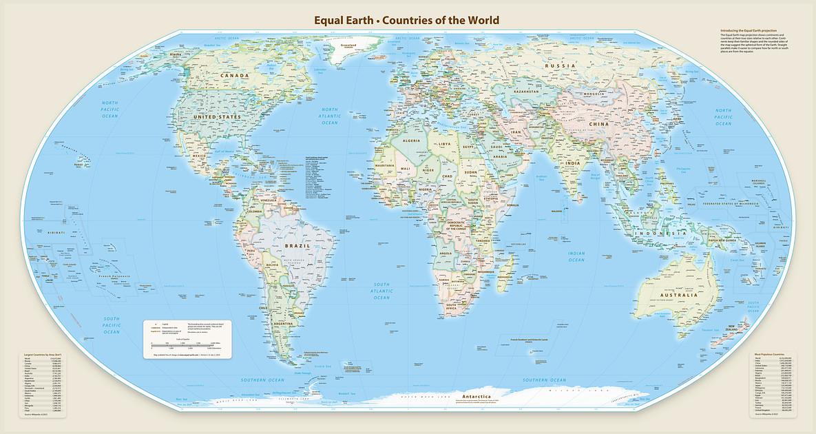
The resolution encourages governments, schools, international organizations, media outlets, and technology companies to use equal-area projections, particularly Equal Earth, when the relative size of landmasses matters.
For businesses and digital platforms, the move could influence how geographic markets, resources, populations, and economic footprints are visually presented.
The Mercator projection, created by Flemish cartographer Gerardus Mercator in 1569, remains widely used because it was designed for navigation. It allows sailors to plot courses as straight lines while maintaining a constant compass bearing.
Its weakness becomes obvious when size matters. Landmasses near the poles appear much larger than they actually are. Greenland, for example, can look roughly comparable to Africa on a Mercator map, even though Africa is about 14 times larger.
Togo Foreign Minister Robert Dussey, whose country introduced the resolution on behalf of the 54-member African Group, said maps influence how people understand the world.
Critics have long argued that the distortion can reinforce outdated perceptions of Africa, Latin America, and South Asia by visually shrinking regions closer to the equator.
Equal Earth, developed in 2018 by cartographers Tom Patterson, Bernhard Jenny, and Bojan Šavrič, addresses the size problem by preserving relative land area more faithfully. It still distorts shape, however, underscoring a basic problem with maps: a round planet does not fold neatly onto a flat screen.
The resolution also calls for updated school curricula, public education on map projections, stronger geospatial capabilities, technology transfer, and greater access to mapping data in developing countries.
The US criticized the measure as ideological and a distraction from more urgent issues.
The resolution does not ban Mercator or require its replacement. It instead encourages users to choose projections based on purpose.
In other words, the UN is not exactly throwing Mercator overboard. It is simply asking the world to stop using a sailor’s map as a picture of the planet.