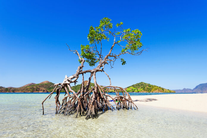
The Department of Environment and Natural Resources (DENR) has urged the public to take an active role in the rehabilitation and conservation of the country’s mangrove forests by helping validate the mangrove map created through satellite data.
The agency said the National Mangrove Map 2023, the satellite-derived map developed with the Philippine Space Agency (PhilSA), serves as basis for making informed decisions and developing policies aimed at restoring and protecting Philippine mangroves.
The DENR said mangroves are crucial as they are productive salt-tolerant ecosystems that play a critical role in coastal protection, carbon sequestration, biodiversity conservation, poverty alleviation and food security.
DENR Secretary Maria Antonia Yulo Loyzaga said conservation efforts are needed since mangroves face a decline and are continually threatened due to human activities and natural disturbances.
“Amid the climate emergency and destruction of mangroves, everyone has the ability to make a difference by tracking and protecting our natural resources,” said Loyzaga in a statement.
She also said mangrove tracking can be easily made by downloading the ODK Collect app to collect data that will validate the presence or absence of mangroves in several spots.
The initiative calls for the private and public sectors, including private individuals and organizations, to visit coastal barangays and verify the presence or absence of mangroves with the ODK Collect app or with the submission of drone images of local mangroves using the same app.
The ODK Collect app provides easy-to-follow guidelines to collect data that will validate the presence or absence of mangroves in several spots within the same barangay, keeping a distance of 10 meters from the previous validation point.
Participants with drone equipment can opt for drone surveying and mapping over the ODK Collect app following the flight plan specified in the e-manual.
With over 600 sites and 30,000 validation points across the country as targets, the DENR looks to complete the field validation of the mangrove map by June 2024.
Thus far, however, the project has received less than five percent of the target submissions, underscoring the need for urgent action and increased participation by the public.


