


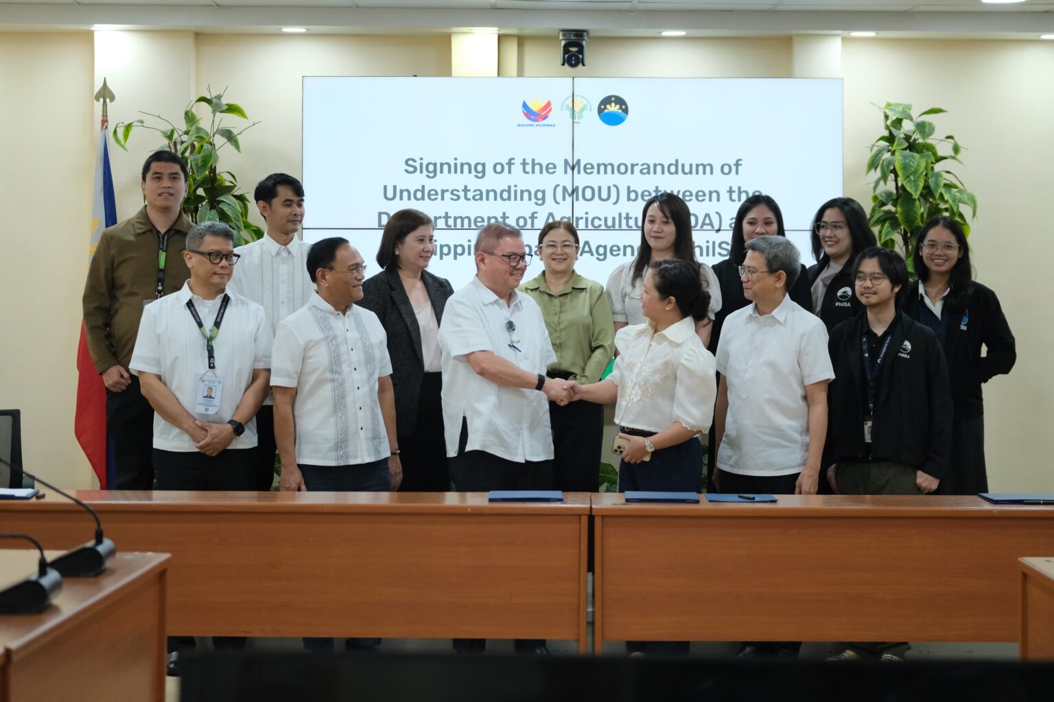
The Department of Agriculture (DA) and Philippine Space Agency (PhilSA) formalized a five-year partnership Tuesday to deploy Earth observation, geospatial tools, and AI for strengthening agriculture, fisheries, disaster response, and climate resilience. The collaboration uses satellite data to speed up damage detection, improve irrigation planning, and shield food production from floods, droughts, and other risks.
Agriculture Secretary Francisco Tiu Laurel Jr. said the initiative bridges space-derived insights and on-ground farm realities, turning data into timely, precise decisions. Key uses include monitoring crops, mapping hazards, forecasting yields, tracking pests, analyzing soil health, and identifying viable fishing areas. Plans also aim to repurpose floodwaters as a resource by mapping water flow and storage zones to support dry-season irrigation.
PhilSA will provide satellite data and technical expertise, while DA will supply field data, validate assessments, and integrate space tools into programs. Field validators nationwide will conduct ground-truthing to ensure accuracy, with both agencies sharing maps and datasets covering production, hazards, and disaster impacts. Each will cover their own costs unless separate agreements state otherwise, marking a major step in aligning space technology with food security and sustainable resource management.